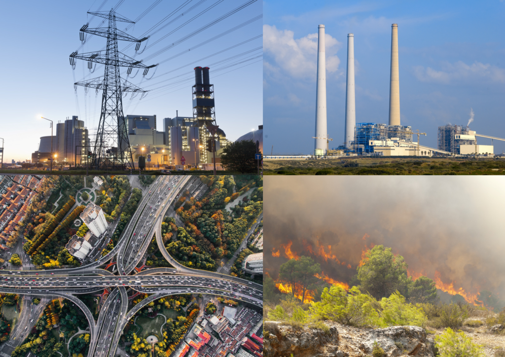
Emission inventories provide essential information on magnitude, type of activity, time evolution, and the spatial coverage of emission of pollutants or greenhouse gases into the atmosphere. These inventories are developed to regularly provide policy makers, governments, and subsidiary bodies qualified scientific information in order to evaluate progress towards emission abatement measures and decide on future strategies. They are also used in scientific applications as input in urban, regional, continental or global scale models.
Several emission inventories are in use. Regarding air pollutants, the Convention on Long-range Transboundary Air Pollution (CLRTAP) was set up for international co-operation to solve transboundary air pollution problems. The CLRTAP Reporting Guidelines list all the substances for which there are existing emission reporting obligations. Air pollutant inventories need to take into account measures for emission reduction, and much of the emission-related information from industry is derived from facility reporting. Regarding greenhouse gases (GHG), countries are required to report annual emissions and sinks under the United Nations Framework Convention on Climate Change (UNFCCC). All Parties to the UNFCCC and the Kyoto Protocol shall develop, periodically update, publish and make available national inventories of anthropogenic emissions which are not controlled by the Montreal Protocol. This targets several greenhouse gases, including carbon dioxide (CO2), methane (CH4), nitrous oxide (N2O), and various fluorinated chemicals. Parties should also provide information on emissions of carbon monoxide (CO), nitrogen oxides (NOx) and Non-Methane Volatile Organic Compounds (NMVOCs) and are encouraged to provide information on emissions of sulphur oxides (SOx).
Unfortunately, traditional bottom-up emission inventories, based on e.g. transport, factory production, population, are often inaccurate or outdated since they cover a fixed time frame. Observed emission rates vary by orders of magnitude over small spatial and temporal scales, so the extrapolation of these emissions to global and annual scales results in large uncertainties for bottom-up inventories. Over source regions with strong emissions, model simulations strongly depend on the applied a-priori bottom-up inventories. Even after optimisation with surface measurements, the a-posteriori simulation may have considerable uncertainties and errors in small-scale spatial patterns. Therefore, complementary top down approaches using satellite observations and inverse modelling are indispensable to strengthen our knowledge in emission inventories. Although not many are currently used in modelling activities, these top-down inventories can easily be updated frequently. This presents a major advantage when considering the quick changes in emissions caused by dynamic anthropogenic behaviour.
In order to deal with this, many studies have been performed. Recent activities include e.g. the ESA GlobEmission project, where new emission estimates from satellite observations of air constituents have been developed. Next to providing complementary information to bottom-up inventories, the main advantage of these emission estimates are the spatial consistency, high temporal resolution and the rapid availability to the user. They can also be used to identify flaws in existing inventories, monitoring of emission changes and trends, but also to find new emission spots. Instruments measuring air quality and/or GHGs include SCIMANY, the Global Ozone Monitoring Experiment-2 (GOME-2) on MetOp, the Ozone Monitoring Instrument (OMI), GOSAT-2, Orbiting Carbon Observatories, OCO-2 (2014) and OCO-3 (2019), the Chinese Carbon Dioxide Observation Satellite Mission, GHGSat mission Aura/Tropospheric Emission Spectrometer (TES) instrument, MetOp/IASI, Atmospheric Infrared Sounder (AIRS) on the EOS/Aqua platform, and the Suomi National Polar-orbiting Partnership (Suomi-NPP) Cross-track Infrared Sounder (CrIS). Finally, in 2017 ESA launched the Copernicus Sentinel-5p mission with the TROPOspheric Monitoring Instrument (TROPOMI) on-board.